
Hema Explorer-Clear Lake


What do you do when you’ve explored every FJ Summit trail in the Ouray-Silverton-Telluride area multiple times? Find something new.
Listen to this Adventure
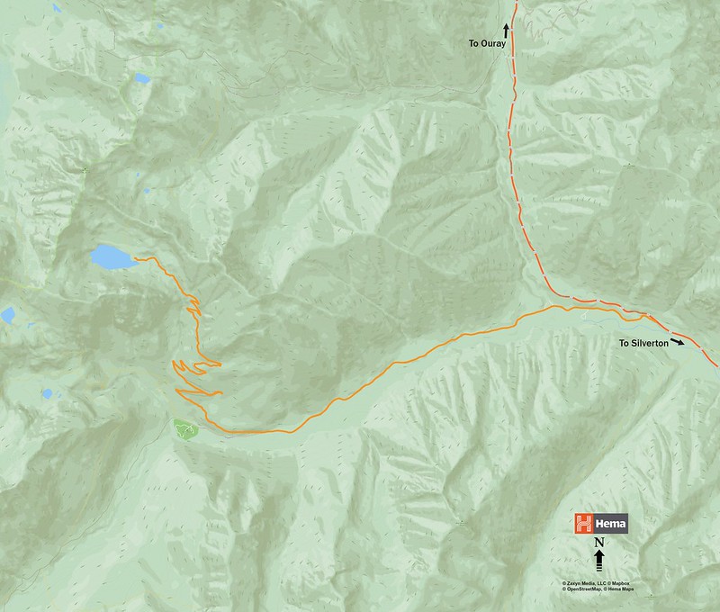
The Hema Explorer system helped to scout a high alpine lake that we’ve never explored. With a route planned in the cloud, I synced the tracks to my phone & tablet and downloaded the proper maps. We hit the pavement south of Ridgway, headed for Red Mountain Pass.
After turning off the highway, we found a standard forest road complete with a washboard surface. We aired down to 22psi on the new tires, hit record on the app, and headed for the hills.
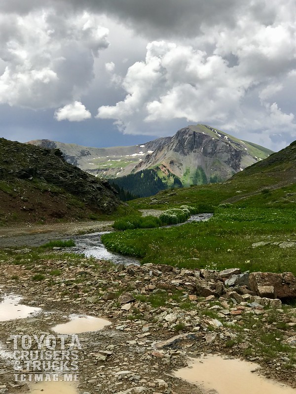
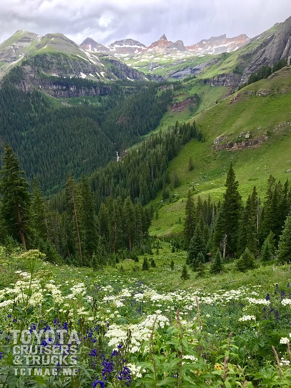
Despite the cloudy & rainy day, we were able to find some really great views throughout the ~8 mile journey which included over 3,000ft in elevation gain. We spotted the Golden Horn a few times, along with several lakes, waterfalls, and great potential campsites.
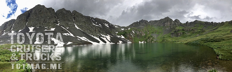
The end of our trip revealed a socked-in yet still beautiful Clear Lake. At an elevation near 12,000ft the lake is actually….quite clear. It’s also cold, and a really great place for lunch. Alas, the rain caught us so we enjoyed our sandwiches in the comfort of the GX.
This trail is suitable for any stock 4×4 or SUV with low-range and you should plan 2-4 hours for a round trip, depending on how often you stop to capture the views. You can see our track on the Hema Explorer Cloud: http://hema.li/clrlkco
[flickr set=72157687698525500]
To get your copy of theSummer 2017 Issue:   FIND US ON: |
??? Ad